
Our Sevices
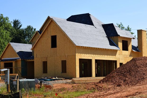
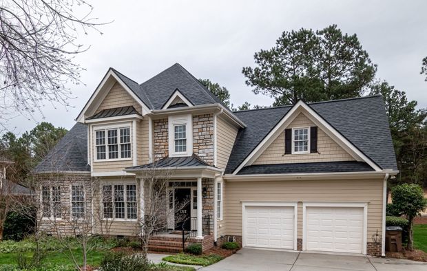
Drones provide high-resolution aerial images that capture unique perspectives for real estate, construction, events, and marketing. With advanced cameras and gimbal stabilization, drone photography delivers crisp, professional images ideal for promotional and documentation purposes.
Photography
Aerial videography enhances storytelling by capturing dynamic, cinematic shots with smooth transitions. Whether for real estate, commercials, construction progress tracking, or tourism, drone footage adds high production value with sweeping landscape views, tracking shots, and time-lapse capabilities.
Videography
Using a 360 camera, you can create immersive virtual tours that allow viewers to explore spaces interactively. This is particularly valuable for real estate, construction documentation, and facility management, enabling remote stakeholders to experience a site as if they were there in person.
360 Walkthroughs
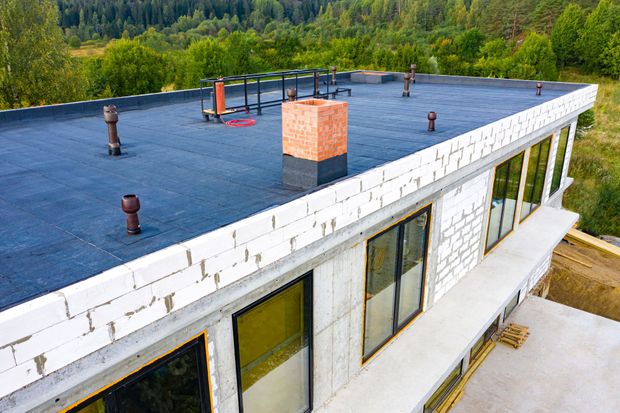
Drone surveying uses GPS, photogrammetry, and LiDAR (where applicable) to generate highly accurate maps, 3D models, and topographic data. This is crucial for construction planning, land development, and infrastructure inspections, providing cost-effective and efficient data collection compared to traditional surveying methods.